Best offers
in Denpasar
Land Plots in Denpasar


Urban Service Density
Denpasar land is naturally relevant for compact residential projects, service-oriented development, and urban repositioning because the city functions as the administrative and logistical core of Bali with continuous settlement structure
Inner City Structure
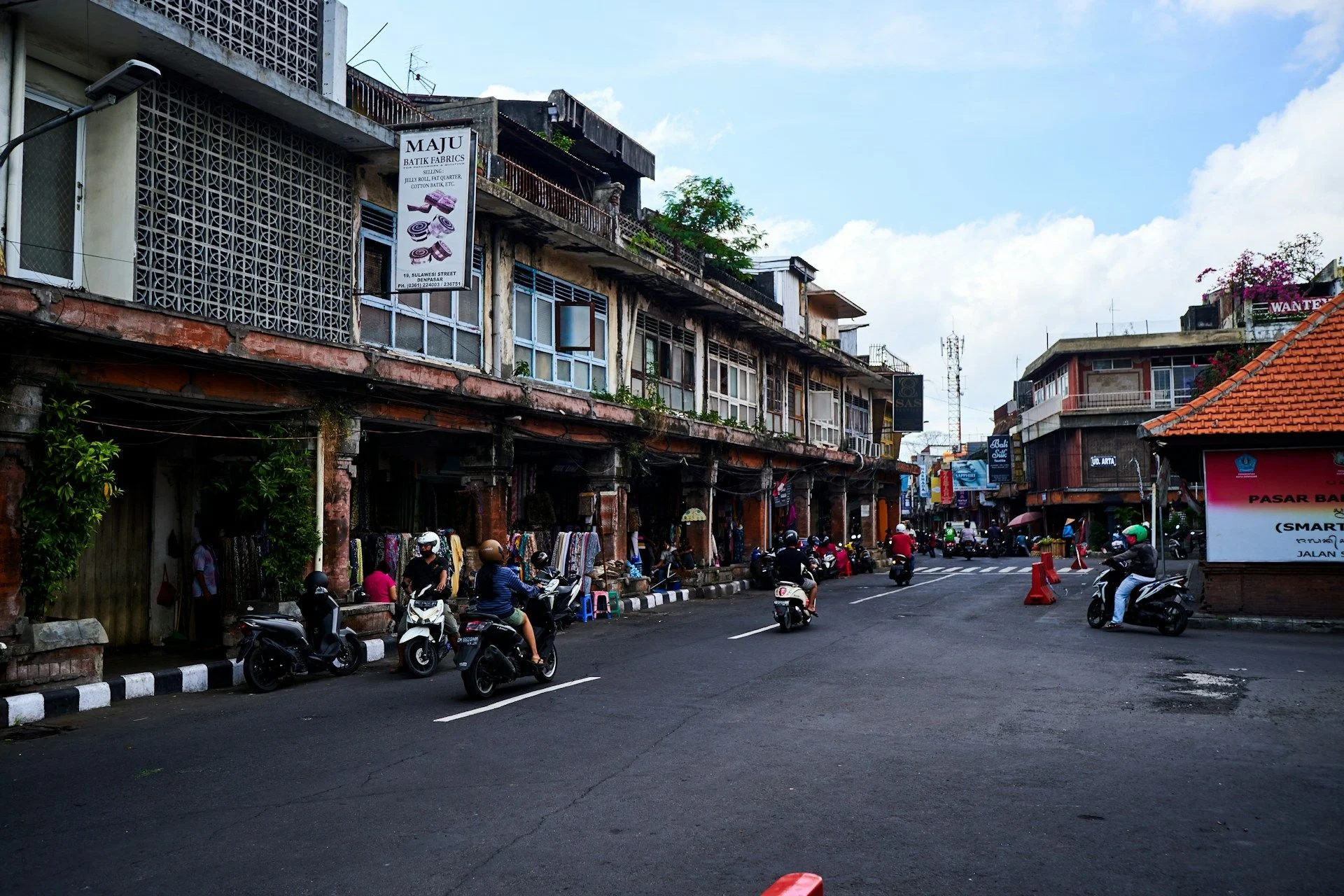
Land in Denpasar is shaped by dense urban grids, mixed residential belts, commercial corridors, and infrastructure-linked zones, so plot quality depends heavily on access, surrounding activity, and integration with the citys operational pattern
Stable Urban Utility
The strategic appeal of land in Denpasar comes from constant local demand and its role as the islands functional center, allowing well-positioned plots to remain useful for housing and service-based mixed-use development over time
Urban Service Density
Denpasar land is naturally relevant for compact residential projects, service-oriented development, and urban repositioning because the city functions as the administrative and logistical core of Bali with continuous settlement structure
Inner City Structure
Land in Denpasar is shaped by dense urban grids, mixed residential belts, commercial corridors, and infrastructure-linked zones, so plot quality depends heavily on access, surrounding activity, and integration with the citys operational pattern
Stable Urban Utility
The strategic appeal of land in Denpasar comes from constant local demand and its role as the islands functional center, allowing well-positioned plots to remain useful for housing and service-based mixed-use development over time

Useful articles
and recommendations from experts
Land for sale in Denpasar within Bali urban development structure
Why land has strong practical relevance in Denpasar
Denpasar operates as the administrative, commercial, and logistical core of Bali rather than as a resort-oriented or purely residential environment. This creates a land market driven by everyday urban use rather than lifestyle branding. Buyers consider plots here because the right parcel can support compact housing, mixed-use formats, or service-oriented projects that benefit from constant local activity and infrastructure access.
Land in Denpasar is therefore relevant not because of scenic positioning but because of functional continuity. The city maintains year-round economic movement, institutional presence, and urban density that sustain demand for practical residential and commercial formats. In this context, plot quality depends on how effectively a site can support everyday urban use rather than on broad regional attraction.
How land fits the spatial structure of Denpasar
Denpasar should be understood through its layered urban fabric rather than through a single central zone model. There are administrative and commercial corridors, dense residential neighborhoods, transport-linked service areas, and mixed-use transition belts where land behaves differently depending on proximity to major movement routes and established activity clusters.
Some plots are positioned within compact residential grids where small-scale housing or townhouse-style formats naturally fit the surrounding pattern. Others are located along busier corridors where service-oriented or mixed-use outcomes become more practical due to visibility and access. There are also peripheral urban zones where density begins to soften, creating opportunities for slightly more spacious residential concepts while still benefiting from city infrastructure.
Because Denpasar is structurally integrated, the strongest land opportunities are those that match the rhythm of their immediate environment. A plot in a dense residential block requires a different project logic than one located near a transport artery or commercial node. Understanding this micro-structure is essential when comparing parcels across the city.
Main land-use clusters relevant in Denpasar
The dominant cluster in Denpasar is compact residential development. Buyers often search for plots that can support small apartment buildings, townhouses, or tightly configured housing projects aligned with the citys dense settlement pattern. This residential logic reflects the practical nature of urban living in the administrative center.
The secondary cluster is service-based mixed-use development. Certain parcels become relevant because they sit near commercial corridors, transport routes, or institutional areas where residential and service functions can coexist. This may include office-linked housing, small-scale commercial premises integrated into residential projects, or flexible urban formats designed for long-term utility.
Large resort-style or low-density lifestyle concepts are generally less aligned with Denpasars urban character. The citys land market is shaped by functionality, density, and operational efficiency rather than by leisure-oriented spatial models.
Types of land plots typically considered in Denpasar
Buyers who want to buy land in Denpasar often evaluate three broad categories. The first is inner-grid residential land, where compact housing solutions are the main objective. The second is corridor-adjacent land, where stronger access and visibility may support mixed-use or service-oriented outcomes. The third involves peripheral urban transition plots, which offer slightly more spatial flexibility while remaining connected to the citys infrastructure network.
Each category solves different development needs. Inner-grid sites prioritize density and efficient layout. Corridor-adjacent parcels emphasize accessibility and long-term operational viability. Peripheral plots balance urban connectivity with marginally lower density, allowing for alternative residential configurations. Choosing the right category depends on the intended project scale and functional orientation.
What makes one Denpasar plot more practical than another
In Denpasar, practicality is determined by accessibility, geometry, and alignment with surrounding urban intensity. A centrally located plot may still present limitations if road access is constrained or parcel shape restricts efficient layout. Conversely, a slightly less central site may deliver stronger development outcomes if its geometry and connectivity support rational building design.
Urban infrastructure also plays a decisive role. Proximity to transport routes, utilities, and established service nodes often enhances both immediate usability and long-term adaptability. The surrounding built pattern matters because projects that mirror local density and functional character integrate more naturally into the city environment.
Effective comparison therefore requires evaluating how seamlessly each parcel supports the intended use within Denpasars operational structure rather than focusing solely on geographic prestige.
Land in Denpasar compared with fixed property formats
Completed urban property in Denpasar offers immediate operational use within an established infrastructure context. Land, however, provides the opportunity to design a project that responds precisely to local density, access patterns, and service demand. This flexibility can be particularly valuable when the buyer seeks to create a compact residential or mixed-use format not readily available in existing inventory.
At the same time, land selection must be justified by a clear project rationale. In a dense administrative city, development thresholds are defined by practical efficiency. If a finished property already meets operational requirements, it may represent the more straightforward choice. Land becomes compelling when it enables a distinctly stronger functional outcome.
How to read actual plot options in Denpasar through VelesClub Int.
When evaluating land for sale in Denpasar, buyers should begin by clarifying the intended urban use. Whether the objective is compact housing, service-linked development, or mixed-use positioning, the next step is to identify parcels whose spatial characteristics naturally support that objective. This includes reviewing access logic, parcel shape, surrounding density, and integration with the citys infrastructure network.
The VelesClub Int. catalog assists in structuring this comparison. By filtering land plots in Denpasar according to real urban functionality rather than generic location descriptors, buyers can focus on sites capable of delivering disciplined and practical development outcomes. This process transforms broad interest in the city into a precise selection framework.
Through informed evaluation and structured guidance, VelesClub Int. helps buyers align project ambition with Denpasars operational urban logic, ensuring that each land decision reflects both immediate practicality and long-term strategic value.
Questions buyers consider when exploring land in Denpasar
Why does land in Denpasar behave differently from land in resort-oriented Bali regions? Because the city functions as the administrative and logistical hub of the island, shaping demand around everyday residential and service use rather than seasonal or leisure-driven activity.
Where does land usually make the most sense within Denpasar? Most often within dense residential grids, along commercial corridors, or in urban transition zones where infrastructure access and mixed-use logic naturally align with the surrounding environment.
Why can similarly sized plots differ significantly in value across the city? Variations in access quality, parcel geometry, infrastructure proximity, and surrounding density often determine development practicality more than centrality alone.
Is visibility always a decisive advantage in Denpasar? Not necessarily. For purely residential projects, integration into stable neighborhood patterns may deliver stronger long-term utility than exposure along high-traffic routes.
What makes a plot more flexible within the Denpasar urban structure? Clear geometry, reliable road connection, alignment with surrounding density, and proximity to established service networks enhance both usability and adaptability.
How should buyers compare buildable land in Denpasar without relying solely on district reputation? By reviewing relevant plots in the VelesClub Int. catalog or submitting a structured request based on how each parcel fits the citys functional urban pattern.